


Page 30 - sst_class_06
P. 30
3. the great inDian DeSert

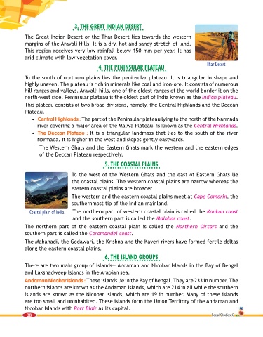
             The Great Indian Desert or the Thar Desert lies towards the western
             margins of the Aravali Hills. It is a dry, hot and sandy stretch of land.
             This region receives very low rainfall below 150 mm per year. It has

             arid climate with low vegetation cover.
                                                  4. the PeninSular Plateau                            Thar Desert


             To the south of northern plains lies the peninsular plateau. It is triangular in shape and
             highly uneven. The plateau is rich in minerals like coal and iron-ore. It consists of numerous
             hill ranges and valleys. Aravalli hills, one of the oldest ranges of the world border it on the
             north-west side. Peninsular plateau is the oldest part of India known as the Indian plateau.
             This plateau consists of two broad divisions, namely, the Central Highlands and the Deccan
             Plateau.

                 •   Central Highlands : The part of the Peninsular plateau lying to the north of the Narmada
                   river covering a major area of the Malwa Plateau, is known as the Central Highlands.
                 •   The Deccan Plateau : It is a triangular landmass that lies to the south of the river
                   Narmada. It is higher in the west and slopes gently eastwards.
                      The Western Ghats and the Eastern Ghats mark the western and the eastern edges
                    of the Deccan Plateau respectively.

                                                     5. the CoaStal PlainS


                                    To the west of the Western Ghats and the east of Eastern Ghats lie
                                    the coastal plains. The western coastal plains are narrow whereas the
                                    eastern coastal plains are broader.
                                    The western and the eastern coastal plains meet at Cape Comorin, the
                                    southernmost tip of the Indian mainland.

                Coastal plain of India  The northern part of western coastal plain is called the Konkan coast
                                     and the southern part is called the Malabar coast.
             The  northern  part  of the  eastern  coastal  plain  is called  the  Northern Circars and  the

             southern part is called the Coromandel coast.
             The Mahanadi, the Godawari, the Krishna and the Kaveri rivers have formed fertile deltas
             along the eastern coastal plains.

                                                     6. the iSlanD grouPS
             There are two main group of islands— Andaman and Nicobar Islands in the Bay of Bengal

             and Lakshadweep Islands in the Arabian sea.
             Andaman Nicobar Islands : These islands lie in the Bay of Bengal. They are 233 in number. The
             northern islands are known as the Andaman Islands, which are 214 in all while the southern
             islands are known as the Nicobar Islands, which are 19 in number. Many of these islands

             are too small and uninhabited. These islands form the Union Territory of the Andaman and
             Nicobar Islands with Port Blair as its capital.
              30                                                                                         Social Studies-6

